Description
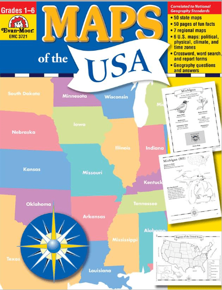
Maps of the USA includes geopolitical maps of each of the 50 states; political maps of the six regions; and political, physical, and thematic maps of the United States. You’ll also find fun facts, geography bee-type questions, and review pages. The book is divided into four sections:
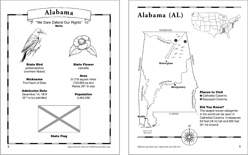
The 50 States
- the state capital
- two most populous cities
- major rivers, mountains, and deserts
- and state borders
The Six Regions
- an outline map of the states in that region
- a small inset map of the United States with the region highlighted
- five questions about the region
- a challenge research question
- a political reference map of the six regions of the United States
The United States
- the 50 states, labeled and blank maps
- mountains and deserts
- waterways
- climate zones
- time zones
- maps showing the location of the United States in North America and the world
- a study sheet that includes 10 questions about the map and a challenge research question accompanies each map
Review
- a United States evaluation form
- a state evaluation form
- a crossword puzzle
- a word search
- and an answer key
This resource contains teacher support pages, reproducible student pages, and an answer key.





Reviews
There are no reviews yet.